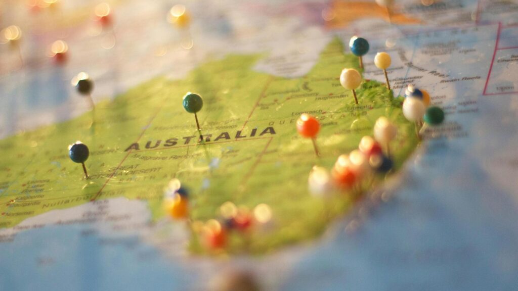
I have always felt the wonders that happen when you trace the southeastern corner of the Australian map with your finger. That winding, dramatic line connecting Sydney and Melbourne is more than just a route; it’s a promise of adventure along the stunning southeast coast of Australia. The Sydney to Melbourne coastal drive is one of Australia’s most iconic road trips, a journey that takes you from the bustling energy of Sydney, the largest city in New South Wales, to the cultural heart of Melbourne in Victoria. Australia, as the smallest continent and a unique continental landmass, offers a distinct travel experience with its vast and varied landscapes.
In between, you will find a world of turquoise bays, sleepy seaside towns, lush national parks, and some of the most spectacular coastline on the continent. Australia’s location on Earth, occupying its own continent and surrounded by oceans, makes this journey globally significant for travelers seeking to explore its unique geography.
This isn’t a trip you rush. It’s about savoring the freedom of the open road and discovering the countless gems scattered along this stretch of the map of Australia, where the importance of location shapes every stop and view, including the scenic Central Coast and the beautiful Sunshine Coast. You can watch dolphins play in crystal-clear waters in the morning and dine on fresh oysters in the evening.
It’s a classic driving through Australia experience that combines breathtaking nature with local charm and delicious food. So, buckle up and get ready to explore Australia’s coastal route as we guide you through this unforgettable journey from Sydney to Melbourne, passing through major cities and iconic coastal landscapes along the Pacific Ocean and Tasman Sea.
Australia’s Geography, Political Map, and Key Features
Australia is made up of six states: New South Wales, Victoria, Queensland, South Australia, Western Australia, and Tasmania, along with several territories, including the Australian Capital Territory, home to the nation’s capital, Canberra. As a constitutional federation and member of the Commonwealth, Australia’s political structure includes both states and territories, each with its own significance.
Major cities across Australia include Adelaide, Perth, Brisbane, Cairns, Gold Coast, Newcastle, Albany, and Port Hedland, each contributing to Australia’s diverse urban landscape. The country is bordered by the Indian Ocean to the west, with Papua New Guinea to the north, Indonesia to the northwest, and New Zealand (Zealand) to the east across the Tasman Sea.
Australia’s physical geography features the Central Lowlands, the Murray-Darling Basin, the Great Artesian Basin, and the Lake Eyre Basin, as well as vast desert regions like the Great Victoria Desert and the Gibson Desert. The highest point on the mainland is Mount Kosciuszko, located in the Great Dividing Range. Australia’s mineral resources, including iron ore and gold, are significant contributors to the national economy and are found primarily in the Western Plateau and other mineral-rich regions.
Planning Your Coastal Journey Along Australia Maps
Before you hit the road, a little planning will help you make the most of your adventure along the map of Australia route. While the direct inland route between Sydney and Melbourne takes about nine hours, this coastal journey along the southeast coast is best enjoyed over five to ten days.
The total distance is roughly 1,400 kilometers (about 870 miles) once you factor in detours to coastal towns and scenic lookouts. Spreading the trip out allows you to explore the stunning beaches and vibrant regional maps without feeling rushed. Grab a detailed Australian map or use a free digital app like Google Maps to plot your key stops, but leave room for spontaneity. The map shows major cities, coastal highlights, and physical features such as national parks and mountain ranges along the route. Some of the best memories are made when you follow a random sign to a deserted beach or a charming cafe along the Pacific Ocean or Tasman Sea.
Best Time to Drive: The ideal time for this trip is during the spring (September to November) or autumn (March to May). You’ll be rewarded with pleasant weather, fewer crowds than in the summer peak, and stunning natural scenery, from spring wildflowers to rich autumn colors. This timing also helps you avoid the intense heat common in the northern territory and western plateau regions during summer.
Top Coastal Towns in Regional Maps to Visit Along the Way
The heart and soul of this road trip are the charming towns dotted along the Australian coastline. Each one has its own unique personality and invites you to slow down and stay a while, showcasing the diverse beauty of the southeast coast of Australia. Australia’s southeast coast is not only renowned for its stunning landscapes but also for its proximity to neighboring countries in Oceania and the surrounding seas, such as the Tasman Sea and Coral Sea, which shape the region’s unique coastal environment.
Kiama and the South Coast’s Charms in New South Wales
Just a 90-minute drive south of Sydney, Kiama is your first major stop along this iconic Australian map route. It’s famous for its blowhole, a natural rock formation that shoots seawater high into the air. Stroll along the scenic coastal walk and grab a coffee at one of the lovely beachfront cafes while enjoying views of the Pacific Ocean.
The White Sands of Jervis Bay and the Coral Sea
A short detour off the main highway will lead you to Jervis Bay, located on the eastern highlands near the Coral Sea. This marine park is renowned for having some of the whitest sand in the world at Hyams Beach. The calm, turquoise waters are perfect for swimming, paddleboarding, and kayaking. I’ll never forget taking a dolphin-watching cruise here and seeing pods of them playfully leaping alongside our boat. It’s a truly magical experience on Australia’s southeast coast.
Batemans Bay and the Oyster Coast in the South Coast Region
As you continue south, you enter Australia’s Oyster Coast, part of the south coast of New South Wales. Batemans Bay is a fantastic base for exploring this region. Be sure to stop at a local oyster shed along the Clyde River to sample some of the freshest, creamiest oysters you will ever taste. It’s a culinary highlight that perfectly captures the flavor of the region and the coastal lifestyle.
Eden and the Sapphire Coast near the New South Wales-Victoria Border
Towards the Victorian border lies the historic whaling town of Eden, located on the Sapphire Coast. Its deep blue waters are part of the Coral Sea Islands region. Visit the Eden Killer Whale Museum to learn about the area’s fascinating history, and keep an eye out for whales during their migration season (May to November). This area is a key highlight on the political map of Australia’s coastal towns.
These towns along the southeast coast provide a wonderful introduction to the diverse landscapes and rich marine environments found along Australia’s coastline, from the great dividing range foothills to the pristine beaches bordering the Tasman Sea and Pacific Ocean.
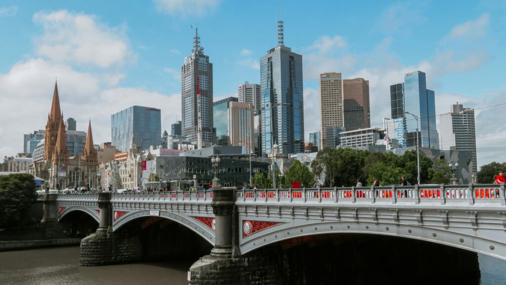
Journeying Through Victoria: From Gippsland to the Great Ocean Road
Once you cross into Victoria, the landscape begins to shift. The journey takes you through the beautiful Gippsland Lakes region before you reach the trip’s grand finale.
Lakes Entrance and the Ninety Mile Beach
Lakes Entrance is the gateway to the Gippsland Lakes, Australia’s largest inland waterway system. It’s a paradise for fishing, boating, and enjoying the serene environment. Nearby, you can walk along the pristine and seemingly endless Ninety Mile Beach.
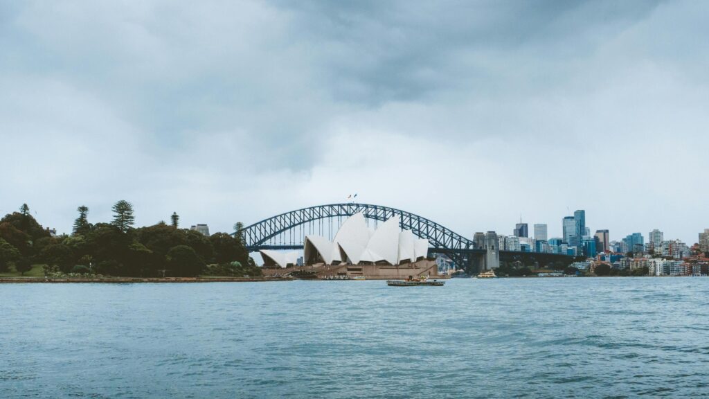
The Grand Finale: The Great Ocean Road
No map of Australia is complete without highlighting the Great Ocean Road. While technically starting west of Melbourne, many travelers incorporate its eastern end into this drive. From Melbourne, you can easily do a day trip or add a few days to drive this world-famous route. The road itself is an engineering marvel, winding along dramatic cliffs and offering breathtaking views at every turn. The undisputed highlight is the Twelve Apostles, a collection of majestic limestone stacks rising from the Southern Ocean. Seeing them at sunrise or sunset is an experience that will stay with you forever.
Best Beaches and Coastal Activities
This coastal drive is a beach lover’s dream. Beyond the famous spots, you’ll find countless hidden coves and deserted stretches of sand.
- Pebbly Beach: Located in Murramarang National Park, this beach is famous for its resident kangaroos that often come down to the shore.
- Wilsons Promontory National Park: A detour worth taking, “The Prom” offers stunning hiking trails and secluded beaches like Squeaky Beach, known for its fine quartz sand that squeaks under your feet.
- Bells Beach: Near the start of the Great Ocean Road, this is one of Australia’s most famous surf breaks. It’s a great spot to watch experienced surfers ride the powerful waves.
Coastal Comparison: While the southern coast is renowned for its rugged cliffs and surf beaches, Australia’s northeast coast is home to the Great Barrier Reef. Located off the coast of Queensland, the Great Barrier Reef is the world’s largest coral reef system and a globally recognized natural wonder, attracting visitors for its unique marine life and environmental significance.
Food and Dining Highlights
This road trip is as much a culinary journey as it is a scenic one. The route is dotted with fantastic foodie experiences that reflect the local produce.
- Seafood: From the oysters in Batemans Bay to the fresh fish and chips in coastal towns like Lakes Entrance, you’ll be spoiled for choice.
- Farm Gates and Local Produce: Keep an eye out for farm gate stalls selling fresh berries, cheeses, and other local goodies, especially around the small towns of southern New South Wales.
- Wineries: The region around the Mornington Peninsula (a detour near Melbourne) is famous for its cool-climate wines, particularly Pinot Noir and Chardonnay. Many cellar doors offer tastings and have excellent restaurants.
Accommodation for Every Traveler

You’ll find a wide range of accommodation options to suit any budget.
- Camping and Caravan Parks: For those looking to connect with nature, there are countless holiday parks and national park campgrounds with fantastic facilities and stunning locations.
- Motels and Pubs: Classic Aussie road trip accommodation. Many country pubs offer simple, affordable rooms, plus you get to experience the local social hub.
- Boutique Hotels and Airbnbs: In popular towns like Jervis Bay and along the Great Ocean Road, you’ll find stylish boutique hotels and unique rental properties for a more comfortable stay.
Your Coastal Australia Explore Moment Awaits

The Sydney to Melbourne coastal drive is more than just getting from point A to point B on the map of Australia. It’s a journey that invites you to slow down, breathe in the fresh sea air, and discover the incredible beauty of Australia’s southeastern coastline. It’s about the freedom of the open road, the friendly faces in small towns, and the unforgettable sunsets over the ocean.
Whether you have five days or two weeks, this road trip offers an endless supply of memories waiting to be made. So, start plotting your route on a map of Australia, pack your bags, and get ready for an adventure that will capture your heart. You won’t regret it.
If you want to explore even more routes and inspiration, check out our guide to Road Tripping the Map of Australia: Beaches, Koalas, and Van Life for another unforgettable journey.